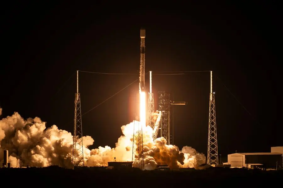
Abu Dhabi-based AI-powered SpaceTech company Space42 has successfully launched three new Synthetic Aperture Radar (SAR) satellites, significantly expanding its Earth Observation (EO) constellation, Foresight. The launch marks a major step in bolstering the UAE’s sovereign space capabilities and its position as a global leader in the geospatial intelligence market.
Expanding the Foresight Constellation
The new satellites, Foresight-3, Foresight-4, and Foresight-5, were launched into Low Earth Orbit aboard SpaceX’s Bandwagon-4 rideshare mission from Cape Canaveral, Florida. This addition brings the Foresight Constellation to a total of five satellites, just over a year since its first launch in August 2024. The rapid expansion underscores Space42’s commitment to scaling its operations and technological prowess.
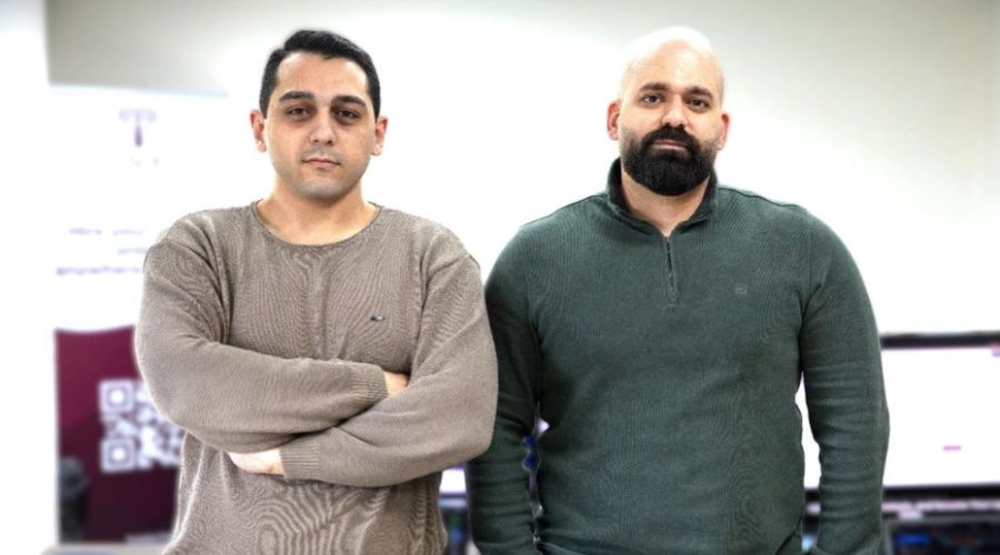
Hasan Al Hosani, CEO of Smart Solutions at Space42, commented on the milestone, “Expanding the Foresight Constellation to five satellites in just over one year demonstrates our commitment to operating as a center of excellence for space innovation, and enhances the space ecosystem we are developing, that can scale globally from Abu Dhabi. By combining sovereign capability with global collaboration, together with ICEYE, we deliver intelligence that matters across industries and borders.”
The launch was executed in partnership with ICEYE, a global leader in SAR satellite operations, and integrator Exolaunch.
A Leap in Geospatial Intelligence
The Foresight Constellation’s key differentiator is its ability to combine high-resolution SAR imagery with Space42’s proprietary AI platform, GIQ. Operating at a 25-centimeter resolution, the satellites provide continuous visibility regardless of weather conditions or time of day. This data is converted into real-time, decision-grade insights delivered directly into customer workflows.
The enhanced constellation enables daily revisit rates, sharper change detection, and lower latency in intelligence delivery. SAR technology has proven its strategic value in critical situations, such as confirming the safety of Turkey’s Atatürk Dam after the 2023 earthquake and providing crucial data during the UAE’s historic flooding in 2024. This capability allows governments to accelerate emergency response by up to 90% and helps infrastructure operators reduce predictive maintenance costs by as much as 30%.
Global Collaboration from Abu Dhabi
This achievement highlights a successful model of international collaboration rooted in the UAE. The satellites were produced in Finland, underwent testing and integration for the first time in Abu Dhabi at Space42’s Assembly, Integration and Testing (AIT) facility—the first of its kind in the region—and were launched from the United States.
“Working with Space42 demonstrates how ICEYE’s technology and operational expertise can help partners establish sovereign satellite capabilities,” said Rafal Modrzewski, CEO and Co-founder of ICEYE. “We look forward to building even greater capabilities in the UAE and collaborating with our partners as they advance their space ambitions.”
Strengthening the UAE’s Space Ambitions
The expansion of the Foresight EO Constellation places the UAE among only 20 countries worldwide that operate SAR space assets. This milestone directly supports the UAE’s National Space Strategy 2030, reinforcing the nation’s leadership in geospatial intelligence and advanced manufacturing. With a full constellation targeted for 2027, Space42 is solidifying the foundation for high-tech manufacturing and talent development within the UAE.
About Space42
Space42 is a UAE-based AI-powered SpaceTech company that integrates satellite communications, geospatial analytics, and artificial intelligence capabilities. Formed in 2024 through the merger of Bayanat and Yahsat, Space42 provides solutions to governments, enterprises, and communities worldwide. The company operates through two business units: Space Services, focusing on satellite operations, and Smart Solutions, which integrates geospatial data and AI to inform decision-making.
Source: Zawya


